
description Stuart River Eskers Complex Overview
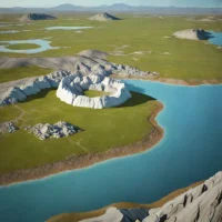
The Stuart River Eskers Complex is a provincial protected area in central British Columbia, Canada, recognized for its prominent glacial landforms. The site features a well-preserved network of intersecting sand and gravel ridges known as eskers, which were deposited by meltwater streams flowing within retreating ice sheets during the last glacial period. The complex protects these distinct geological features and the surrounding boreal forest ecosystem.
help Stuart River Eskers Complex FAQ
What exactly formed the ridges in the Stuart River Eskers Complex?
Eskers form when sand and gravel are deposited by meltwater streams flowing within or beneath glacial ice. After the ice disappears, those former stream beds remain as long, winding ridges.
Where is the Stuart River Eskers Complex located?
The protected landscape lies in central British Columbia near the Stuart River and the broader Fort St. James region. It preserves a network of glacial ridges rather than a single isolated esker.
Why are intersecting eskers scientifically useful?
Their orientation and sediment can reveal how meltwater moved beneath the Cordilleran Ice Sheet. Intersections may record changes in drainage routes as the ice thinned and retreated.
What should visitors expect at the Stuart River Eskers Complex?
This is a relatively undeveloped protected area, not a staffed attraction with paved interpretive trails. Access and field conditions should be checked through BC Parks before a trip into central British Columbia.
explore Explore More


Reviews & Comments
Write a Review
Be the first to review
Share your thoughts with the community and help others make better decisions.


