
description Mapbox Studio Overview
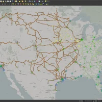
Mapbox Studio is less a service and more a powerful design and data preparation tool. It allows users to visualize, style, and prepare complex geospatial datasets *before* they are fed into an application. This is invaluable for data scientists and UX designers who need to prototype how a geofence or data layer will look and behave across different map types, ensuring the final product is visually cohesive.
help Mapbox Studio FAQ
Can I export data from Mapbox Studio for use in other applications?
Yes, you can export your styled map tiles in various formats or download your processed datasets as GeoJSON files. This allows data scientists to easily port their geospatial data into local databases or other mapping software.
What coding languages do I need to know to use Mapbox Studio?
The Mapbox Studio graphical interface itself is entirely visual and requires no coding to design maps. However, integrating those styled maps into a web application will require JavaScript, utilizing the Mapbox GL JS API.
How does Mapbox Studio differ from QGIS?
While QGIS is a desktop application built for heavy spatial analysis and complex data editing, Mapbox Studio is a web-based tool optimized for styling vector tiles. Mapbox Studio is specifically designed to prepare visual map layers for production web and mobile apps.
explore Explore More


Reviews & Comments
Write a Review
Be the first to review
Share your thoughts with the community and help others make better decisions.


