
description Heinrich Berghaus Overview
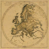
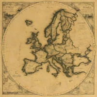
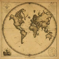
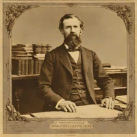
Heinrich Berghaus was a 19th-century German cartographer central to the Humboldt School. He produced a significant thematic physical atlas illustrating global geology and climate patterns. His work provided detailed visual data for scientists, geographers, and those studying Earth's natural systems during that era. It remains notable for its pioneering use of thematic mapping.
help Heinrich Berghaus FAQ
What was Heinrich Berghaus's most significant contribution to physical geography?
He was a German geographer who created a groundbreaking physical atlas that visually depicted global geology, topography, and climate. This work, published in the mid-19th century, was pioneering in its use of thematic mapping.
Did Heinrich Berghaus work with any famous scientists of his era?
Yes, Berghaus collaborated extensively with the famous explorer and naturalist Alexander von Humboldt. He was specifically hired to create the intricate maps for Humboldt's monumental scientific work, "Aspects of Nature."
Where did Heinrich Berghaus primarily practice his cartography?
He operated out of the town of Gotha in Germany, which was a major European hub for geographic publishing during his lifetime. He worked closely with the prominent Justus Perthes publishing house to print his atlases.
What visual techniques did Berghaus pioneer in his physical atlases?
He helped pioneer the use of layer-coloring and isolines to visually depict terrain elevation and meteorological data. His meticulous approach moved cartography away from simple political borders toward scientific visualization of the Earth's physical environment.
explore Explore More
Reviews & Comments
Write a Review
Be the first to review
Share your thoughts with the community and help others make better decisions.


